File:Carte empire Sassanide.png
Jump to navigation
Jump to search
Size of this preview: 800 × 477 pixels. Other resolutions: 320 × 191 pixels | 640 × 382 pixels | 1,200 × 716 pixels.
Original file (1,200 × 716 pixels, file size: 184 KB, MIME type: image/png)
Captions
Captions
Add a one-line explanation of what this file represents
| Description |
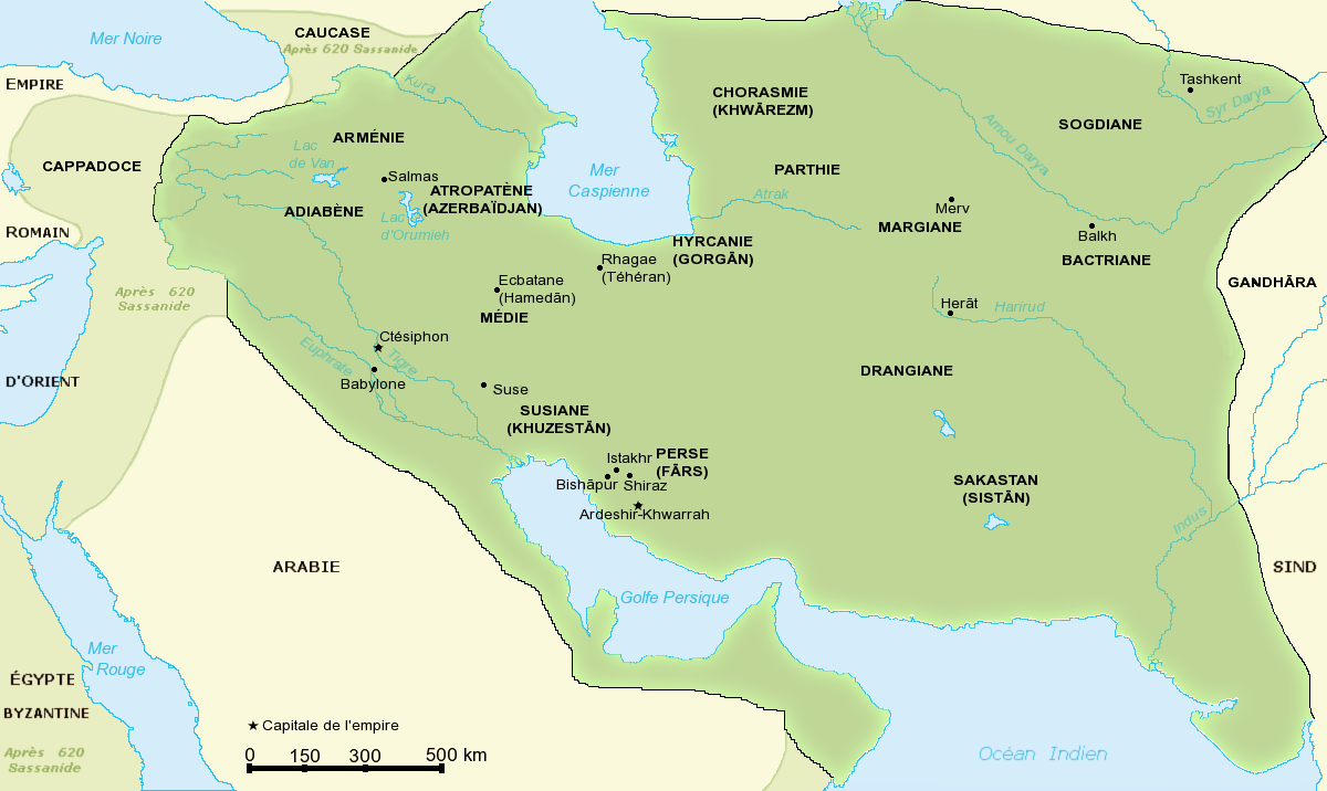
Carte de l'empire Sassanide |
| Date | |
| Source | made from Category:Topographic maps and fr:Image:Map sassanid empire.jpg |
| Author | Fabienkhan |
| Permission (Reusing this file) |
I, the copyright holder of this work, hereby publish it under the following license: This file is licensed under the Creative Commons Attribution-Share Alike 2.5 Generic license.
|
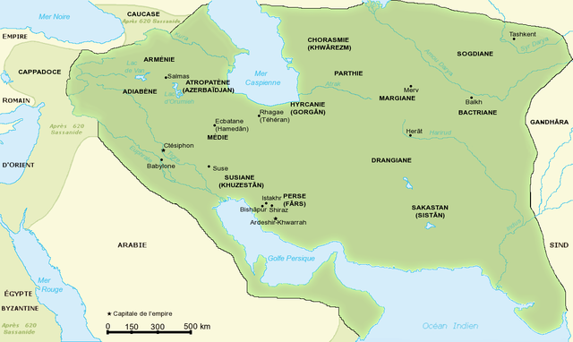
| Other versions | original english version fr:Image:Map sassanid empire.jpg |
File history
Click on a date/time to view the file as it appeared at that time.
| Date/Time | Thumbnail | Dimensions | User | Comment | |
|---|---|---|---|---|---|
| current | 11:03, 21 November 2020 | | 1,200 × 716 (184 KB) | Claude Zygiel (talk | contribs) | More precise, differenciate later extension since 620 |
| 16:38, 20 December 2014 |  | 1,200 × 716 (181 KB) | Kentronhayastan (talk | contribs) | Added "ARMÉNIE" | |
| 23:20, 19 August 2006 |  | 1,200 × 716 (196 KB) | Fabienkhan (talk | contribs) | {{Information |Description=Carte de l'empire Sassanide<br> Map of Sassanid Empire - french text |Source=made from Category:Topographic maps and fr:Image:Map sassanid empire.jpg |Date=august 2006 |Author=Fabienkhan |Permission |
You cannot overwrite this file.
File usage on Commons
The following 24 pages use this file:
- Atlas of Abkhazia
- Atlas of Afghanistan
- Atlas of Azerbaijan
- Atlas of Bahrain
- Atlas of Georgia
- Atlas of Iran
- Atlas of Iraq
- Atlas of Iraqi Kurdistan
- Atlas of Kurdistan
- Atlas of Kuwait
- Atlas of Kyrgyzstan
- Atlas of Oman
- Atlas of Qatar
- Atlas of Saudi Arabia
- Atlas of South Ossetia
- Atlas of Syria
- Atlas of Tajikistan
- Atlas of Turkey
- Atlas of Turkmenistan
- Atlas of Uzbekistan
- Atlas of Western Kurdistan
- Atlas of the Levant
- Atlas of the United Arab Emirates
- User:Magog the Ogre/Multilingual legend/2020 November 21-30
File usage on other wikis
The following other wikis use this file:
- Usage on an.wikipedia.org
- Usage on ba.wikipedia.org
- Usage on bs.wikipedia.org
- Usage on en.wikipedia.org
- Usage on es.wikipedia.org
- Usage on eu.wikipedia.org
- Usage on fa.wikipedia.org
- Usage on fa.wikibooks.org
- Usage on fr.wikipedia.org
- Antiquité
- Bactriane
- Histoire de l'Iran
- Justin Ier
- Hyrcanie
- Drangiane
- Histoire de l'Ouzbékistan
- Histoire de l'Azerbaïdjan
- Sogdiane
- Margiane
- Atropatène
- Bishapour
- Histoire de l'Arménie médiévale
- Proche-Orient ancien
- Pont (région)
- Chronologie de l'Iran
- Tête de cheval sassanide de Kerman
- Littérature irakienne
- Usage on hr.wikipedia.org
- Usage on hu.wikipedia.org
- Usage on ja.wikipedia.org
- Usage on mg.wikipedia.org
- Usage on pl.wikipedia.org
- Usage on pnb.wikipedia.org
- Usage on ru.wikipedia.org
- Usage on sh.wikipedia.org
- Usage on sq.wikipedia.org
- Usage on sr.wikipedia.org
- Usage on tg.wikipedia.org
- Usage on uk.wikipedia.org
View more global usage of this file.