File:F bih02.png
Jump to navigation
Jump to search
Size of this preview: 560 × 600 pixels. Other resolutions: 224 × 240 pixels | 448 × 480 pixels | 943 × 1,010 pixels.
Original file (943 × 1,010 pixels, file size: 50 KB, MIME type: image/png)
Captions
Captions
Add a one-line explanation of what this file represents
Summary
[edit]
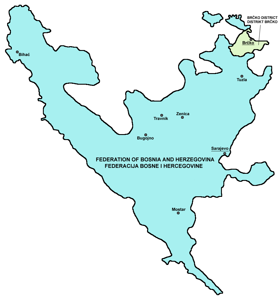
- English: Map of the Federation of Bosnia and Herzegovina and Brčko District.
- Serbo-Croatian (Bosnian, Croatian, Serbian): Mapa Federacije Bosne i Hercegovine i Distrikta Brčko.
Source and licence
[edit]

|
This map has been uploaded by Electionworld from en.wikipedia.org to enable the |
self made map by user:PANONIAN
| I, the copyright holder of this work, release this work into the public domain. This applies worldwide. In some countries this may not be legally possible; if so: I grant anyone the right to use this work for any purpose, without any conditions, unless such conditions are required by law. |
References
[edit]
- Slobodan Radovanović, Geografski atlas, Magic Map, Smederevska Palanka, 2001.
- Geografski atlas, Intersistem kartografija, Beograd, 2004.
- http://www.ohr.int/ohr-offices/brcko/images/map-brcko-district.jpg
- http://world-gazetteer.com/ archive copy at the Wayback Machine
File history
Click on a date/time to view the file as it appeared at that time.
| Date/Time | Thumbnail | Dimensions | User | Comment | |
|---|---|---|---|---|---|
| current | 10:01, 5 August 2011 | | 943 × 1,010 (50 KB) | PANONIAN (talk | contribs) | improved version |
| 08:20, 16 July 2007 |  | 592 × 592 (10 KB) | Nihad Hamzic (talk | contribs) | This image was once a JPEG, the author had simply directly converted it to PNG. I have grealty optimised its size by removing JPEG artifacts, and reducing color domain. | |
| 15:47, 28 December 2006 |  | 592 × 592 (130 KB) | Electionworld (talk | contribs) | {{ew|en|PANONIAN}} Federation of Bosnia and Herzegovina map (self made) {{PD-self}} Category:Maps of the Federation of Bosnia and Herzegovina |
You cannot overwrite this file.
File usage on Commons
The following 2 pages use this file:
File usage on other wikis
The following other wikis use this file:
- Usage on ast.wikipedia.org
- Usage on eo.wikipedia.org
- Usage on es.wikipedia.org
- Usage on eu.wikipedia.org
- Usage on gl.wikipedia.org
- Usage on hr.wikipedia.org
- Usage on id.wikipedia.org
- Usage on ie.wikipedia.org
- Usage on jv.wikipedia.org
- Usage on kk.wikipedia.org
- Usage on la.wikipedia.org
- Usage on sco.wikipedia.org
- Usage on sh.wikipedia.org
- Usage on sr.wikipedia.org
- Usage on sv.wikipedia.org
- Usage on tr.wikipedia.org
- Usage on uk.wikipedia.org
- Usage on vi.wikipedia.org